IndustrialAerial Intelligence
Quantifiable geospatial data for mining operations, aggregate sites, and civil infrastructure. Survey-grade accuracy without the survey-grade timeline.
Geospatial Solutions
Data-driven aerial services engineered for accuracy, compliance, and operational efficiency.
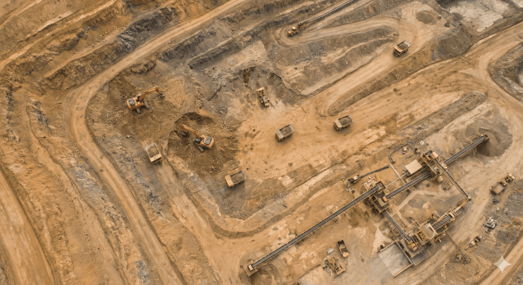
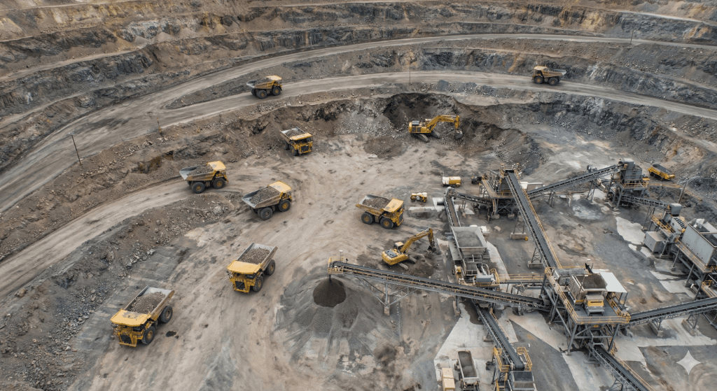
Volumetric Analysis & Stockpile Management
Precision photogrammetry for accurate inventory quantification and stockpile reconciliation.
- Sub-2% volume accuracy
- Cut/fill calculations
- Automated inventory tracking
- Auditable measurement reports
MSHA Compliance & Safety Mapping
Reduce personnel risk with remote aerial inspections of high-hazard zones and equipment.
- Highwall inspection
- Conveyor & crusher surveys
- Haul road condition reports
- Compliance documentation
Orthomosaic & Digital Terrain Models
Survey-grade geospatial data for CAD/BIM integration and topographic analysis.
- High-resolution orthomosaics
- Digital Terrain Models (DTM)
- Contour generation
- GIS-ready deliverables
Construction Progress Monitoring
Consistent repeat flights for quantifiable site progress tracking and dispute resolution.
- Scheduled monitoring flights
- As-built vs. design overlays
- Earthwork quantity verification
- Stakeholder progress reports
Survey-Grade Discipline
We bring the rigor of civil engineering and mining operations to every project. Our process delivers auditable, quantifiable data that stands up to scrutiny—whether it's a stockpile inventory or an MSHA inspection.
Industry Applications
Aggregate Operations
Stockpile inventory, pit progression, and haul road mapping for sand, gravel, and quarry sites.
Civil Infrastructure
Earthwork verification, topographic surveys, and as-built documentation for development projects.
Land Development
3D reality capture and site visualization for investor due diligence and project planning.
Request a Site Assessment
Fill out the form and we'll get back to you within 24 hours with a custom quote.
Service Area
Salt Lake City & surrounding valleys